
Emergency management UAV solution
For emergency management departments and production safety supervision agencies: link the three tasks — "daily inspection + disaster prevention + emergency response plan" — into a single unattended aerial system.
Solution Architecture: Four Positions, One System
Regardless of whether the asset is a mine, an industrial park, or a watershed, the system comprises four position types. Different missions simply swap platforms and payloads; there is no need to build a separate system for each business line.
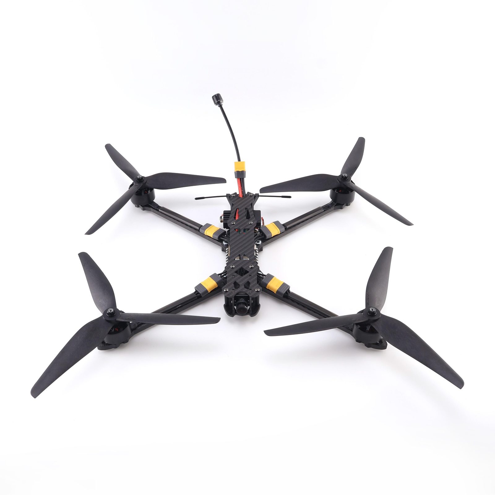
FPV Reconnaissance UAV
Lightweight, portable by a single operator, rapid deployment. Used for immediate close-range observation and on-site evidence collection.
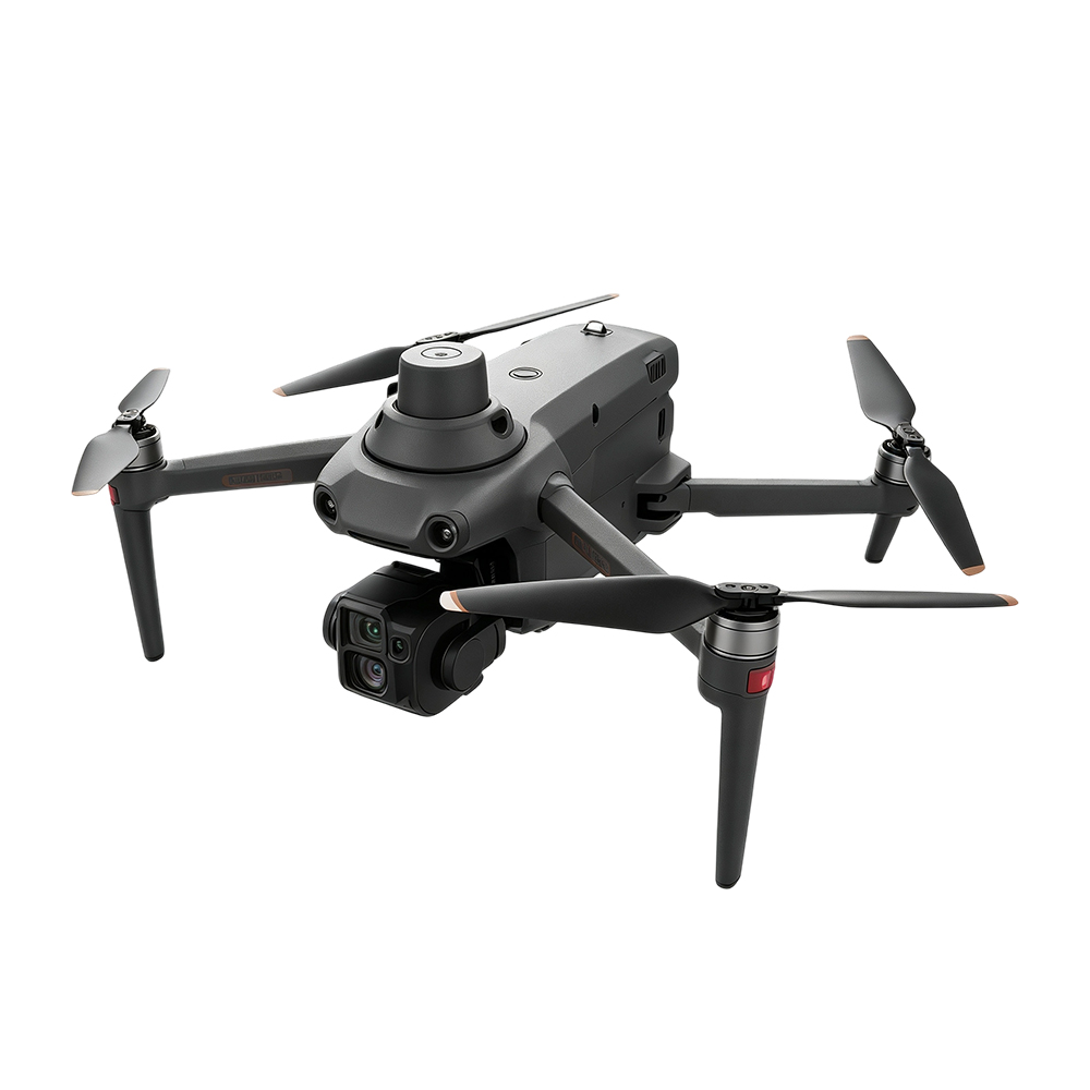
S220 PRO
Professional-grade AI industrial drone. The main model for daily inspections, balancing portability and operational capability.
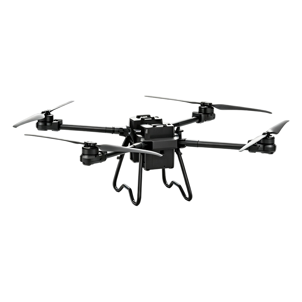
TS100 Cargo UAV
Maximum payload 100kg, 30KM video link. For material delivery and in-flight handling.
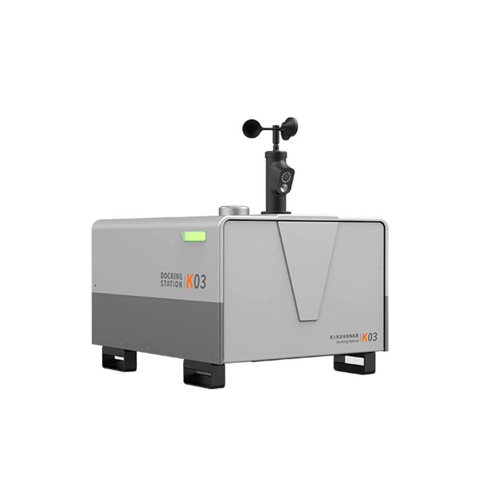
K03 Automatic Charging Hangar
Empty weight only 50kg, supports solar power, automatic takeoff/landing and charging, for grid-based routine patrol.
Daily: Production Safety Supervision
Regulatory priorities differ across the four venue categories, but they share common characteristics: large area, remote location, and incomplete coverage by manual inspections.
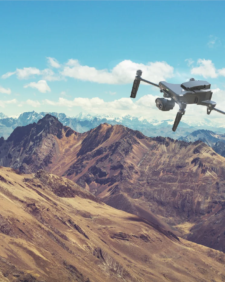
Open-pit mine
Main risks: Construction not in accordance with design · Illegal construction and mining · Tailings environmental risks
What makes traditional patrols difficult: large mining areas and harsh working environments, inspections themselves affect production; lack of technical means to monitor the mining process and tailings ponds.
- Routine equipment inspection—— Scheduled automatic patrol along predefined flight routes
- Mining process monitoring—— Multi-temporal image comparison to track mining progress
- Slope hazard analysis—— 3D model overlay to identify deformation and collapse risks
- Tailings risk supervision—— Periodic fixed-point dam-body photography to generate high-resolution models
- 3D data applications—— Surveying, volume calculation, drawing comparison
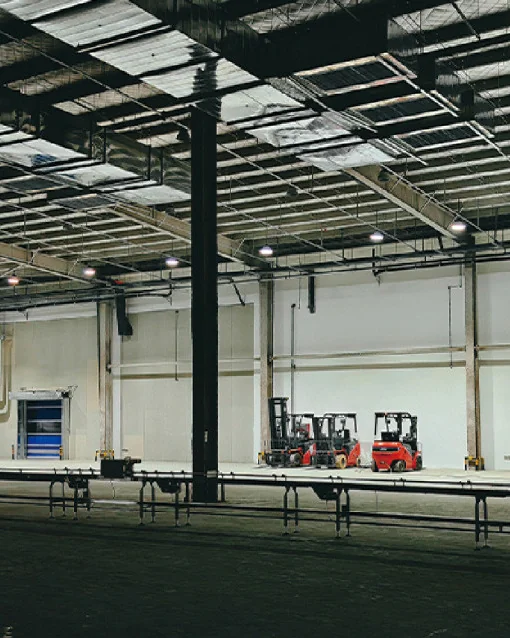
Factory park
Main risks: High risk in storage and transport of hazardous chemicals · Equipment aging and failure · Non-compliance with safety production requirements
What makes traditional patrols difficult: lengthy and intensive inspection processes, high risk in hazardous chemical areas; 24/7 continuous production makes it hard for personnel to ensure timeliness.
- High-altitude equipment inspection—— Replace manual climbing, reduce risk exposure
- Pipeline dual-optical inspection—— Synchronous monitoring of pipeline status using visible light and infrared
- Infrared temperature measurement and flaw detection—— Detection of abnormal high-temperature points
- Gas leak monitoring—— Payload: gas detection module for along-route sampling
- Smoke and fire detection—— Recognition algorithm configurable after local background calibration
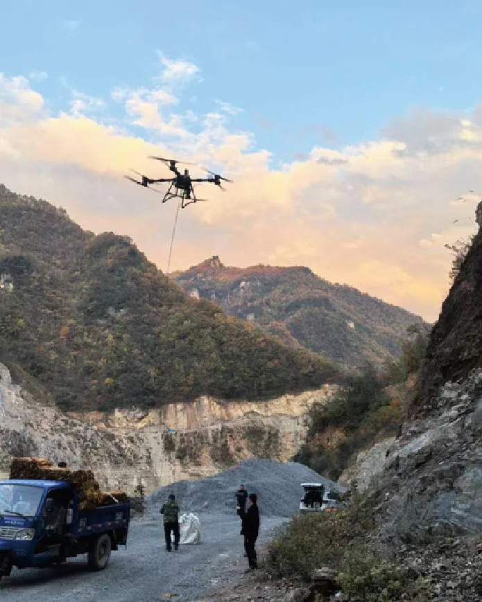
Construction site
Main risks: Violations of operating procedures · Construction not in accordance with design · Difficult to monitor environmental impact
What makes traditional patrols difficult: tight project schedules, inadequate safety supervision, numerous human-related interference factors, prone to missed inspections.
- Construction Site Daily Inspection—— Automated departure by week / by node
- Detection of regulatory violations—— Detection of scenarios such as not wearing a safety helmet or operating outside designated boundaries
- Model and drawing comparison—— Overlay comparison of real-scene models with design drawings
- Earthwork volume measurement and calculation—— Multi-temporal model calculation of excavation and fill volumes
- Perimeter and geological monitoring—— Monitor changes in foundation pit slopes and surrounding environment

Oil and gas production
Main risks: Flammable liquid/gas leaks are hard to prevent · Remote operational areas have high security risks · Accidents have significant environmental impact
What makes traditional patrols difficult: large operational areas and long pipeline distances make manual patrols time-consuming and labor-intensive; toxic gas leaks pose a direct risk to personnel.
- Operational area and station patrol—— Routine flight routes cover stations and tank farms
- Oil and gas pipeline patrol—— Flying along pipelines to detect third-party construction and encroachment.
- Tank farm modelling and contingency planning—— Advance modeling for scenario simulation and force deployment during incidents
- Leak monitoring—— Combining infrared and gas detection to determine the leak scope
- System integration monitoring—— Integration with existing safety production supervision systems
Disaster prevention: Natural disaster prevention and mitigation
The key to disaster prevention is replacing "periodic manual patrols" with "routinely conducted aerial patrols," and accumulating patrol results into comparable data.
| Disaster type | Difficulties of traditional work | What Can UAVs Do |
|---|---|---|
| Forest and grassland fires | Regular inspections along mountain roads; patrol workload is heavy and cycles are long, while lookout posts are often in remote locations with low observation efficiency. | Routine aerial patrol · Smoke/fire detection · Infrared temperature positioning · High-precision digital model · Information annotation · Multi-drone coordinated response |
| Flood disaster | Numerous hazardous works sections and vulnerable links require 24-hour continuous systematic patrols, which easily lead to fatigue and omissions; seepage, piping, landslides, and other phenomena lack technical monitoring means, and patrol effectiveness at night and in rain is poor. | Digitized water-area products · Urban terrain analysis · Water-conservancy facility inspection · Non-contact flow measurement · Post-disaster emergency command · Emergency plan preparation |
| Geological hazards | Low efficiency and high risk of manual observation; low coverage of video monitoring equipment; difficulty coordinating different methods, scattered data | Risk point identification · Regular aerial patrols · Multi-period data comparison · High-precision digital models · Rescue drills · Post-disaster rescue command |
Contingency plan: Procedure for developing grassroots emergency response plans
This is the section we have refined most thoroughly, and it is also the most common gap buyers face after purchasing the equipment — having aircraft, but lacking actionable contingency plans.
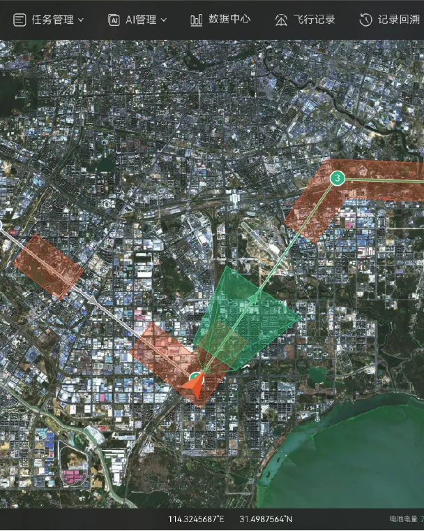
Four-step compilation process
To sustain continuous operations, three things are needed: distributed deployment and remote control (docking stations deployed in a grid pattern, integrated into a unified platform); centralized management with tiered resource sharing (contingency plans developed and personnel trained centrally, establishing a tiered system); routine inspections with refined contingency plans (routine inspections conducted per plan, periodic updates to base maps and annotations).
- Geographic information collection—— Collect imagery of the jurisdiction area and 3D data of key zones using orthophotography, oblique photography or low-altitude close-range photography
- Data processing—— Generate 2D orthophoto and 3D reality models for terrain analysis, coordinate marking and annotation
- Risk assessment—— Identification of risk points and changes related to production accidents and natural disasters, assessment of risk probability and trends
- Pre-plan update—— Periodically repeat the above work, refreshing the contingency plan with new survey results, rather than completing it and storing it in a cabinet.
What should be in the plan and how to use it
An emergency plan is not a document that is written and then locked in a cabinet; it must be openable on a map and executable with one click.
Six items required in the contingency plan
- Basic profile of the jurisdiction
- Risk point marking
- Emergency response team roster
- Equipment and supplies location
- Information on key populations requiring protection
- Emergency rescue and evacuation routes
These six items are derived from practical drafting experience; omitting any one of them will cause the contingency plan to stall during a disaster.
Three categories of one-click-executable flight routes
- Emergency modeling — performed immediately after a disaster; models the scene and compares it with the original model to assess damage
- Loudhailer evacuation — flying to remote, scattered settlements, observing evacuation status, and assisting notification via acoustic and optical payloads
- Supply Delivery —— Precision delivery of materials at pre-planned locations per emergency plan
Flight routes are the operational form of contingency plans: prepared in advance, with one-key takeoff at the time of a disaster, eliminating the need for real-time operation.
Compliance, data and system integration
Emergency management and workplace safety regulatory bodies are highly sensitive to compliance, data security, and system integration capability. Mapped point by point:
| Dimensions of focus | Proposal Response |
|---|---|
| Data security | Supports local data storage and encrypted transmission; specific deployment configuration is determined by the customer's data sovereignty requirements |
| Open integration | Supports API / SDK integration with customer's existing CAD, GIS, safety production supervision and command dispatch systems |
| Payload compatibility | Beyond the existing payload ecosystem, third-party custom payloads can be expanded on demand |
| Training and Delivery | Training and delivery methods are subject to separate agreement per project. |
| Modular procurement | Phased procurement: platform → payload → hangar → command station, reducing the barrier to a single purchase decision |