
Emergency firefighting UAV solution
For fire and rescue and emergency response units: address the longstanding problem of "being unable to see the scene before arrival" through an aerial perspective and infrared sensing.
Four most challenging site types for incident handling
Disaster response logic varies significantly across incident types. Using a single standard configuration for every site is both wasteful and risky.
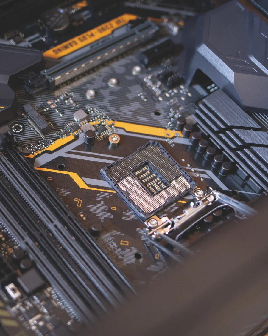
Chemical disaster
The production facility has a wide variety of equipment and an intricate network of pipelines. After a fire breaks out, chain reactions and deflagration are likely. Raw materials, semi-finished products and finished goods are generally flammable, explosive, toxic and corrosive. Large-area fires and flowing fires are also prone to rekindling.
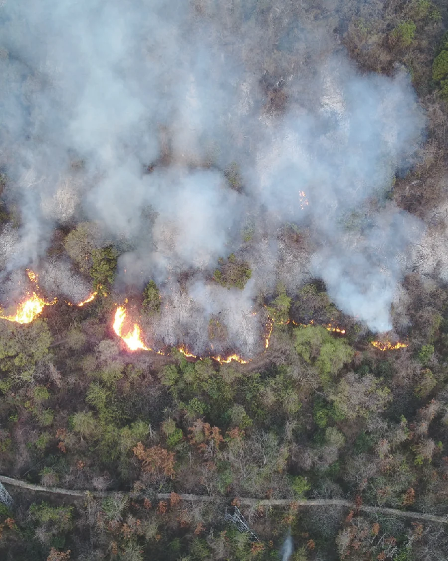
Forest fires
Forest areas have poor road access, steep slopes and deep ravines; communication in fire zones is often unreliable; sudden wind shifts pose extreme risk, and firefighting itself is highly dangerous.
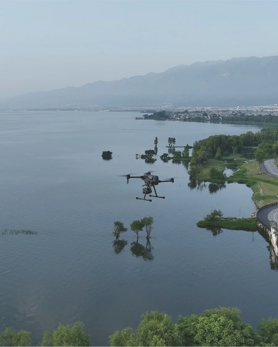
Urban waterlogging
Highly sudden, fast-developing, with many scattered impact points; satellite imagery has relatively low resolution and slow update cycles, unable to quickly obtain a full picture of the disaster.
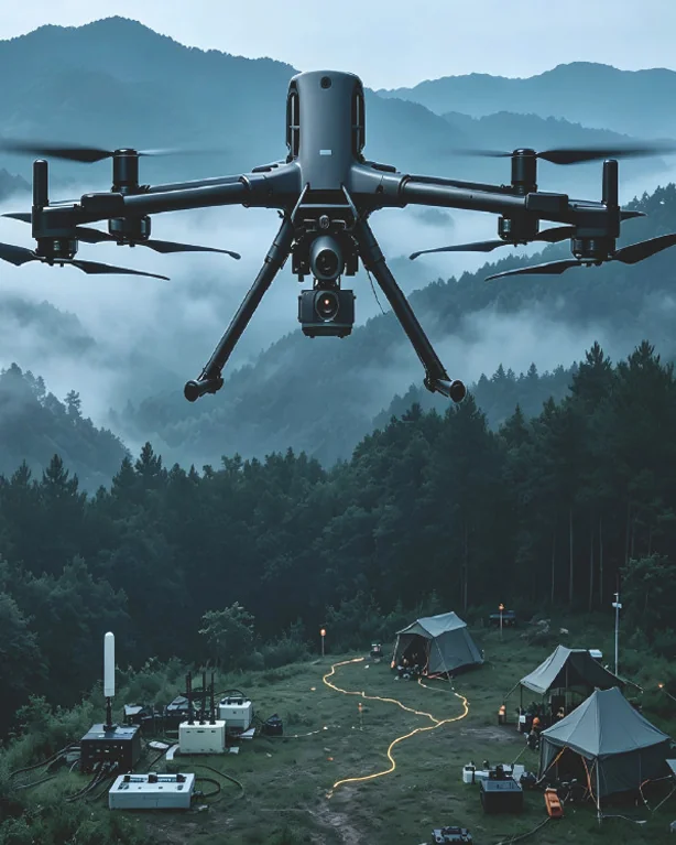
Mountain search and rescue
Significant elevation changes, vegetation obstruction, restricted visibility; alarm calls often come in the afternoon or at night; paper maps and satellite imagery have considerable discrepancy with actual terrain.
Classification by category: what each can address
For each type of site, list available capabilities together with their boundaries and prerequisites — stating the boundaries makes the solution more credible under field verification than listing capabilities alone.
First identify the risk points, then decide where personnel should go
- High-altitude situational awareness — quickly obtain an overall view, supporting disaster assessment
- Infrared monitoring and early warning — real-time monitoring of temperature rise at risk points, with advance alert
- Resource reconnaissance — directly confirm call-up resources such as nearby water sources
- Residual fire inspection — infrared observation during the smoke-point and smouldering-watch phase to check for re-ignition
- Rapid mapping and annotation analysis — Generate electronic command base map, annotate risk warnings and force deployment
- Digital archiving — 3D model recreation of the original site condition for post-incident review and contingency simulation
Thermal imaging relies on temperature difference; thick smoke, glass, and dense vegetation can significantly weaken its effectiveness. In real combat, supplementary shots from multiple angles and altitudes are required.
Strike early and strike small — depends on locating first, then acting
- Fire spot and fire line positioning —— using laser rangefinding and infrared to rapidly map fire lines and locate targets
- High-altitude early warning——Real-time monitoring of fire-line dynamics, early warning, reducing personnel exposure to risk
- Resource reconnaissance — confirm locations of available resources such as water sources
- Residual fire inspection — infrared temperature monitoring during the smoke-point and smouldering phase to detect re-ignition
- Aerial water delivery suppression —— the carrier platform drops water on incipient fire points to buy time for personnel arrival
Water-dropping suppression effectiveness is strongly correlated with fire-point size and wind speed — this is a specific operational condition; any external citation of test data must confirm whether it may be made public.
First piece together the full picture of the disaster area
- High-altitude situational awareness — quickly assess the extent of water accumulation and the full picture of the disaster
- Rapid mapping — Generate 2D / 2.5D electronic command base map
- Laser positioning —— synchronizing the coordinates and number of trapped persons to rescue forces
- Loudhailer broadcast — conveying information to trapped persons, stabilising emotions and guiding self-rescue
- Supply Drop — Drop life rings, medicines, food and other emergency supplies
- Night lighting and infrared search-and-rescue — providing illumination for SAR operations and enabling nighttime search for trapped persons
Night and rainy-day flight requires additional airspace and meteorological condition assessment; all-weather operation cannot be assumed by default.
First solve the problem of "being able to find"
- Mobile search and rescue — unrestricted by ground conditions, rapid deployment
- Evidence annotation and analysis — plot existing clues on the base map for unified analysis
- Point geolocation and coordinate synchronization — coordinates and headcount of trapped persons synchronized to rescue forces
- Route guidance — push reference routes to handheld terminals
Thermal imaging can significantly increase detection probability, but does not guarantee detection —— terrain occlusion, target body temperature, and insufficient thermal differential with the environment all affect performance.
How to select the configuration
First define the approach based on site conditions, then select the specific model. Reverse this order and you will easily end up with a pile of equipment that cannot be used.
| Site | Platform selection approach | Payload selection methodology |
|---|---|---|
| Chemical disaster | Must be resistant to harsh environments and capable of prolonged hovering for observation | Tri-sensor gimbal pod (IR-primary) + gas detection |
| Forest fires | Requires long endurance, wide-area coverage; water-dropping requires carrying capacity | Infrared + laser rangefinding; delivery platform fitted with water-drop / payload-release device |
| Urban waterlogging | Must support rapid takeoff and landing, and be highly maneuverable | Tri-sensor gimbal pod + loudspeaker + cargo dropper + searchlight |
| Mountain search and rescue | Must be portable, man-portable into mountains, and operable at night | Infrared (incl. super-resolution) + low-light + laser rangefinding, one-click coordinate sharing |
Corresponding platform and payload
Specific models are determined by user mission requirements and the current product availability list.
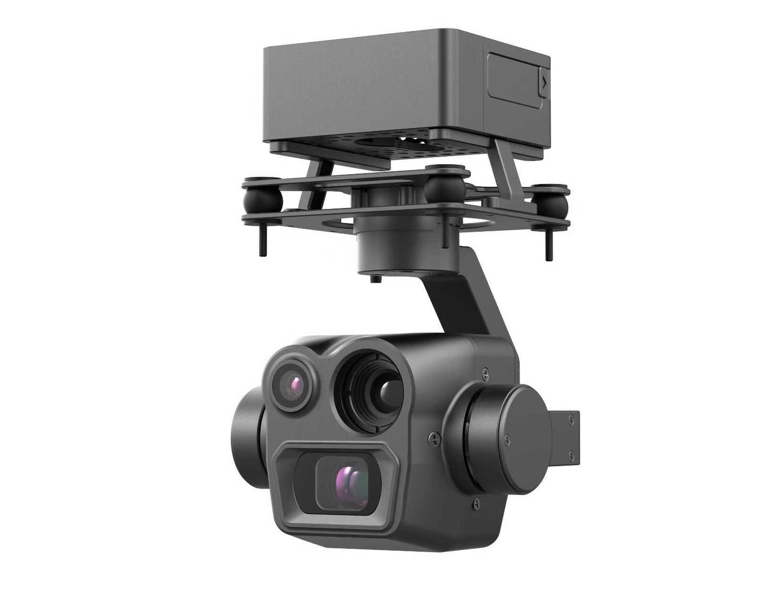
Tri-sensor gimbal pod
Visible light + thermal imaging + laser rangefinding. The core sensing capability at night, providing both target distance and coordinates simultaneously.
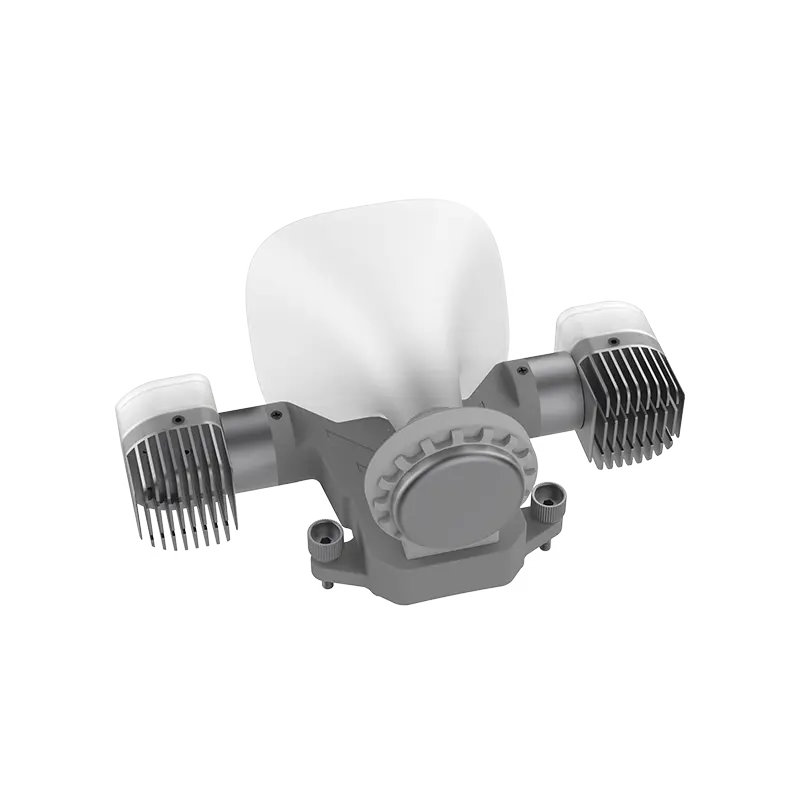
Combined loudhailer and lighting unit
Aerial public address and wide-area lighting, used for evacuation guidance, nighttime operation illumination and site warning.
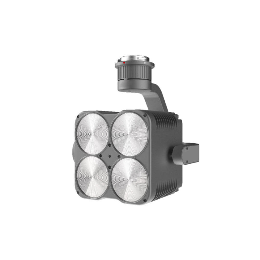
Combined searchlight
Provides a stable light source for nighttime search and rescue operations, can be used in combination with a loudspeaker unit.
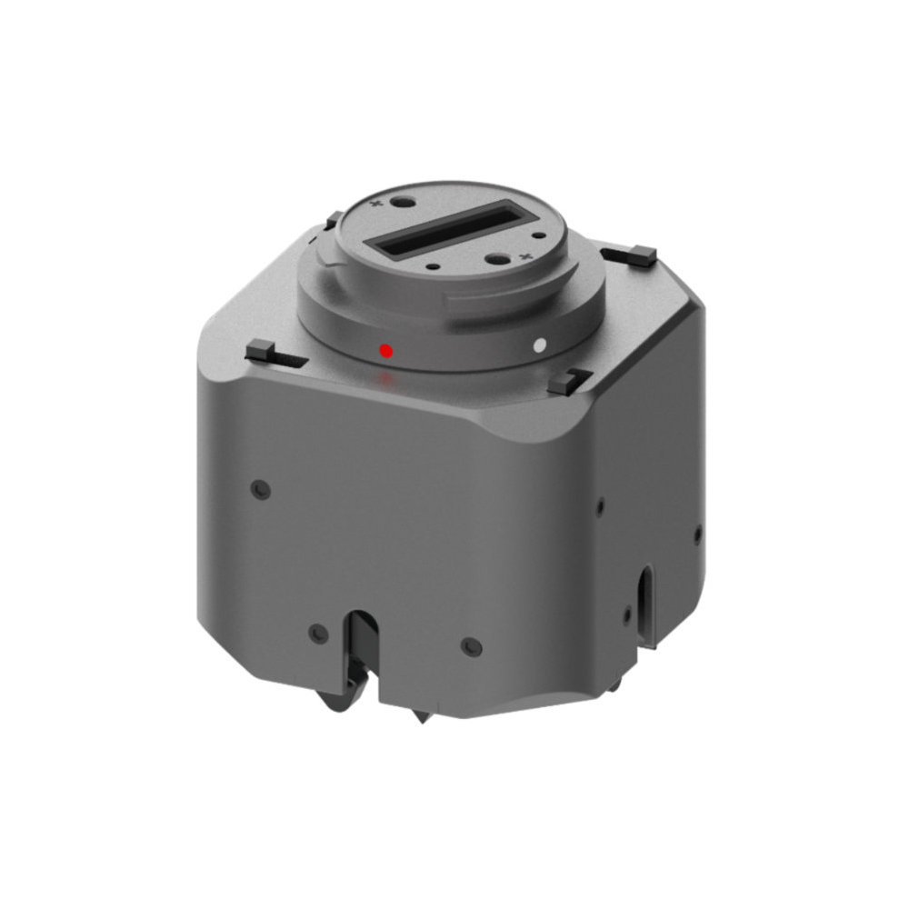
Multi-stage payload dropping device
Precise delivery of emergency supplies — life rings, medicines, communication equipment — to trapped persons or rescue teams.
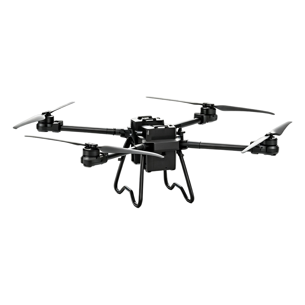
TS100 Cargo UAV
Maximum payload 100kg, 30KM video transmission, supports remote route planning. Used for water drop suppression and cargo delivery.
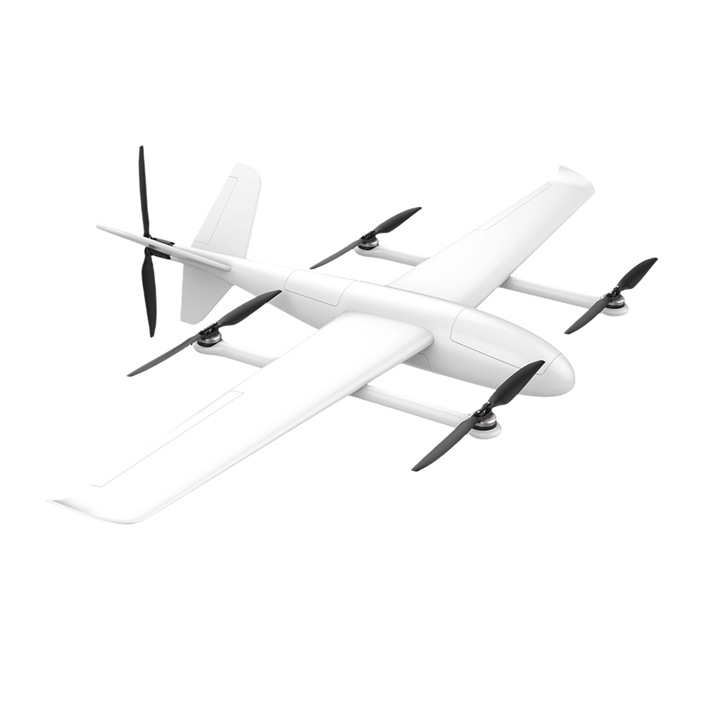
FY-VT04 VTOL Fixed-Wing UAV
Combines multi-rotor maneuverability with fixed-wing long endurance. Suitable for large-area fire inspection and disaster survey.
Three things to do before landing
Whether these three actions are carried out directly determines whether the plan can truly be put into use during a disaster.
On-site surveying first
- Flight zones, no-fly areas, available landing sites, electromagnetic interference zones — survey them clearly before discussing configuration. Skip this step and you will discover at disaster time that you cannot fly in.
Pre-plan compilation
- Compile site base maps, water source locations, and rescue-force distribution into digital contingency plans, so that during a disaster there are executable flight routes ready with one click, rather than having to read maps and find routes on the fly.
Data must be storable and replayable
- Imagery from each mission is automatically archived for after-action review and plan updates. This is far more reliable than searching hard drives for material afterward.
Compliance, data and system integration
Fire and rescue and emergency management organizations are highly sensitive to compliance, data security, and system integration capability. Item-by-item correspondence:
| Dimensions of focus | Proposal Response |
|---|---|
| Data security | Supports local data storage and encrypted transmission; specific deployment configuration is determined by the customer's data sovereignty requirements |
| Open integration | Supports API / SDK integration with customer's existing CAD, GIS, command and dispatch systems |
| Payload compatibility | Beyond the existing payload ecosystem, third-party custom payloads can be expanded on demand |
| Training and Delivery | Training and delivery methods are subject to separate agreement per project. |
| Modular procurement | Phased procurement: platform → payload → hangar → command station, reducing the barrier to a single purchase decision |