
Public safety UAV solution
Providing UAV systems configured by mission profile and deployable in stages, for government bodies, emergency services and public safety organizations that require routine aerial patrols and rapid-response capability.
Determine the match first: which step are you at now?
With drone equipment, buying the wrong solution is usually not due to selecting the wrong model, but rather skipping a step — failing to first clarify what state the organization is currently in. There are four states, and the actions required for each are different.
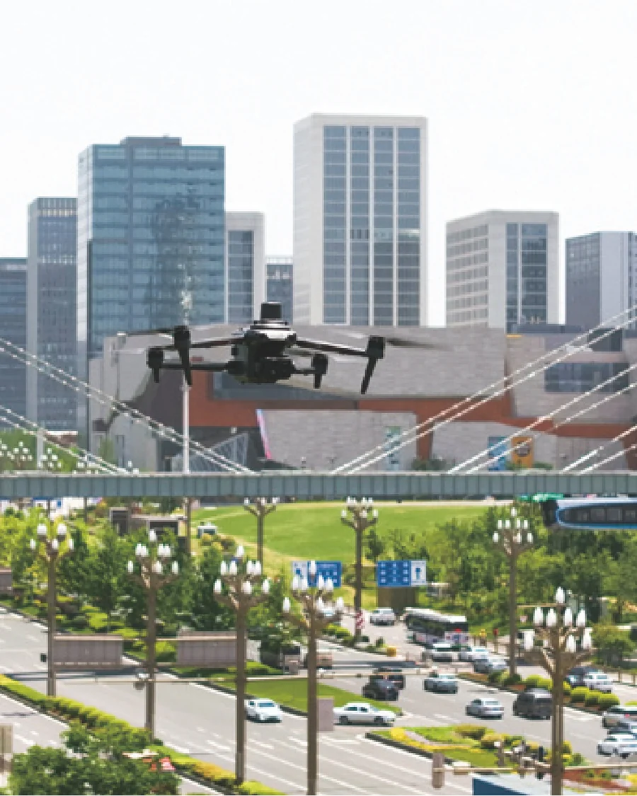
Initial construction
Intermittent procurement interest, lacking unified planning; no dedicated staff, no equipment.
What to solve first: validate the most frequently used mission route with a minimal configuration — do not purchase everything at once.
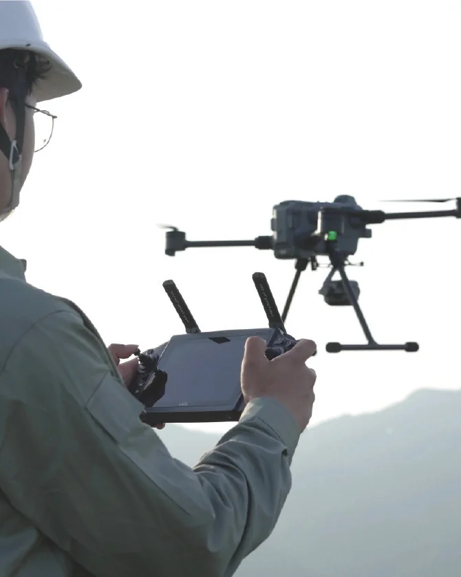
Someone can fly, but on a part-time basis
Have equipment but fly only driven by individual initiative; no lead person, low management attention.
What to solve: Solidify flight and data workflows to reduce dependency on individual capabilities.
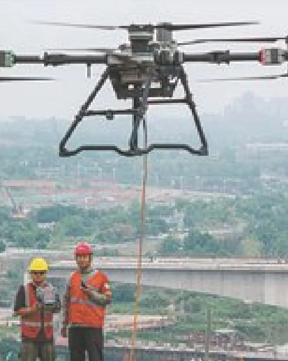
Dedicated pilot team
Stable personnel and applications, seeking independent status.
What to solve: Shift toward routine operations and automation, redirecting manpower from "flying" to "analysis".
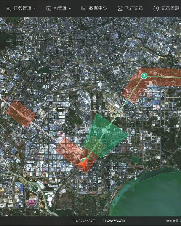
Established aviation forces
Independent budget and professional team, exploring new application areas.
What to solve next: expand mission types, enable multi-drone coordination and plan-based operations, and integrate the system into the command structure.
Why "mature payload ecosystem + self-developed flight platform"
Government and enterprise procurement cycles typically last 3 to 12 months. During this period, technical, financial and end-user teams repeatedly return to review specifications, request documentation and verify case studies. This section therefore addresses only three questions that are repeatedly asked: who supplies the components, who is responsible when issues arise, and whether additional capabilities will be available next year.
| Stage | Our approach | Why this choice |
|---|---|---|
| Sensing payload | Adopting the sensor ecosystem with the widest adoption in the global public-safety sector (thermal imaging, zoom, loudspeaker, lighting, etc.), supplied directly by the original manufacturers of that ecosystem. | Frontline pilots and review experts are already familiar with the imaging performance and software operation of this sensor suite; acceptance criteria are clear, and training and onboarding costs are low |
| Flight platform | Puyu self-developed multi-rotor, VTOL fixed-wing, heavy-lift cargo and other platform types | Daily patrol, wide-area search, and heavy-payload delivery have entirely different endurance and payload requirements; using one aircraft type for all missions inevitably wastes budget. |
| System interface | Platform and payload are decoupled, supporting open protocols and SDK secondary development | Units with existing command and dispatch systems can integrate drones without building a separate parallel system |
| Procurement schedule | Platform, payload, hangar, and command terminal can be purchased in phases | First solve the problem of "being able to see", then the problem of "continuous patrol"—there is no need to spend all the budget at once |
Sensing payload: develop "the ability to see"
Payloads configured per mission. In addition to the four categories below, third-party custom payloads can be extended according to customer requirements.
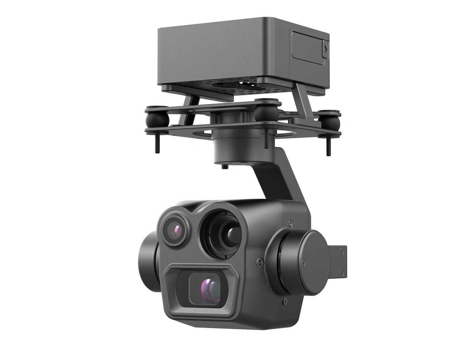
Tri-sensor gimbal pod
Visible light + thermal imaging + laser rangefinding. During the day for detail observation, at night for locating heat sources via temperature difference, and the laser provides target distance and coordinates.
Boundary: Thermal imaging relies on temperature differences; thick smoke, glass, and dense vegetation significantly weaken its effectiveness, so in field operations supplementary captures from multiple angles and altitudes are required.
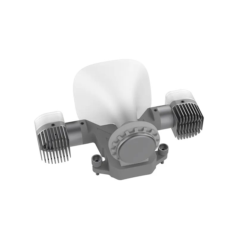
Combined loudhailer and lighting unit
Aerial public address and wide-area lighting. Used for evacuation guidance, nighttime operation illumination and site warning.
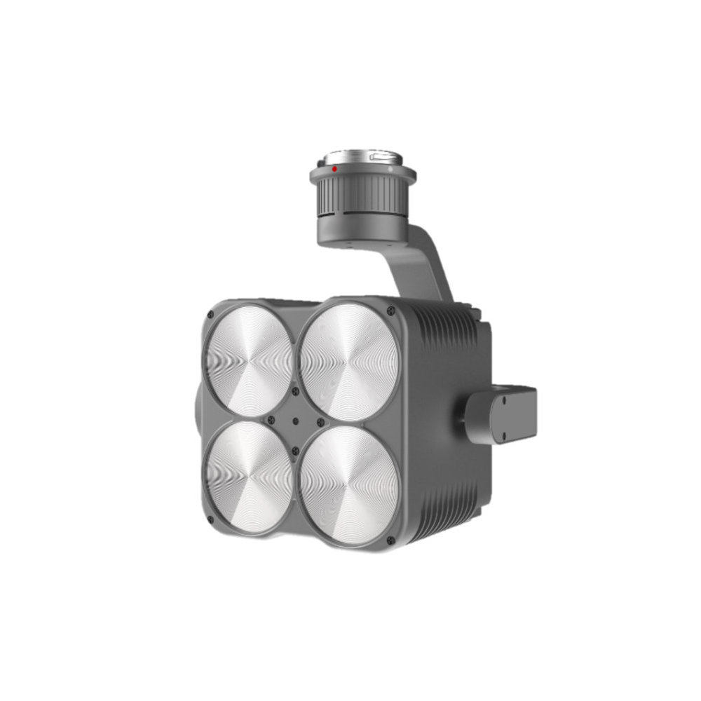
Combined searchlight
Provides a stable light source for nighttime search and rescue operations, can be used in combination with a loudspeaker unit.
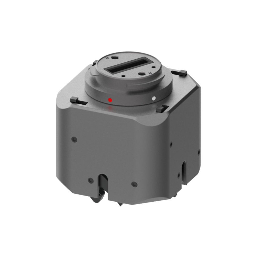
Multi-stage payload dropping device
Precise delivery of emergency supplies — life rings, medicines, communication equipment — to trapped persons or rescue teams.
Flight platform: select by mission, not by budget
Different requirements for endurance, payload and takeoff/landing conditions dictate different aircraft models.
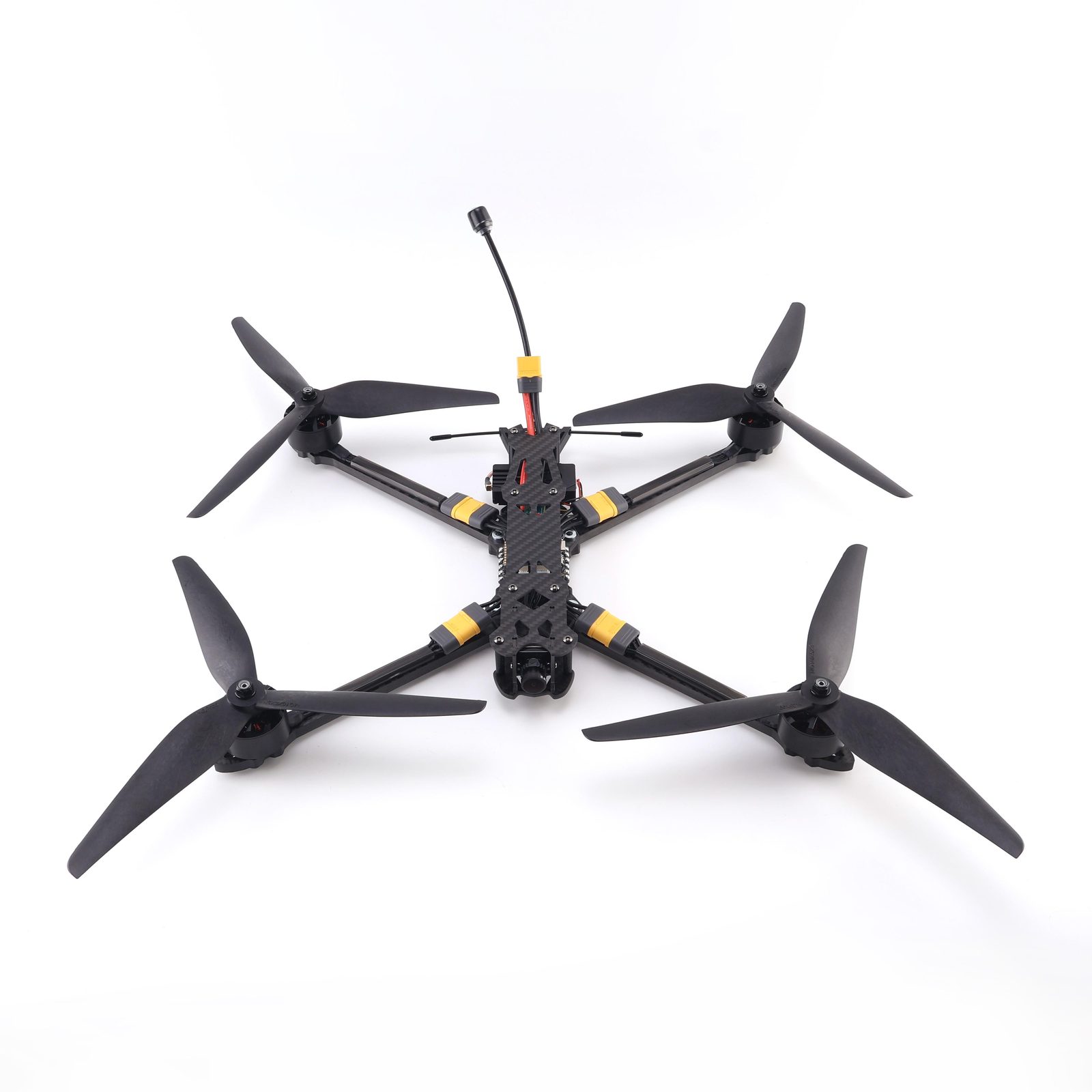
FPV Reconnaissance UAV
Lightweight, portable by a single operator, rapid deployment. Used for immediate close-range observation and on-site evidence collection.
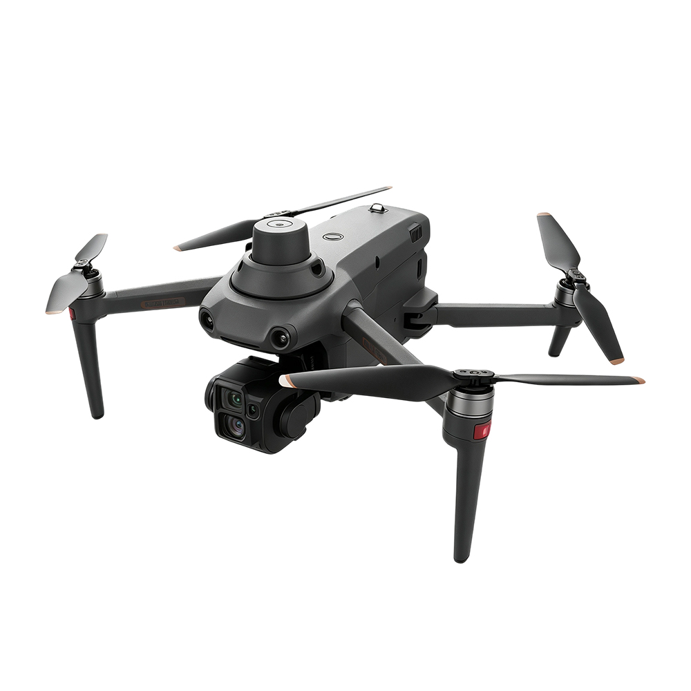
S220 PRO
Professional-grade AI industrial drone. The main model for daily patrols, balancing portability and operational capability.
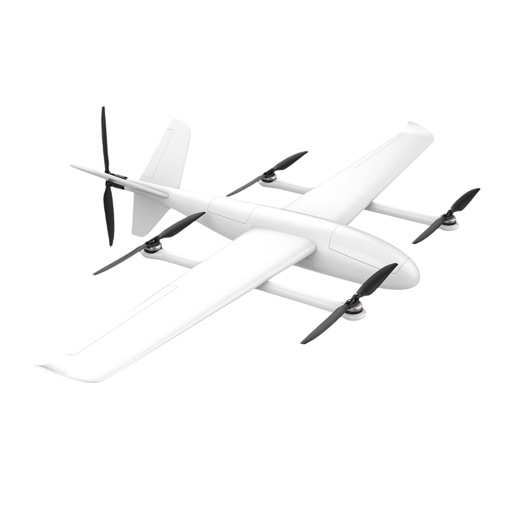
FY-VT04 VTOL Fixed-Wing UAV
Combines multi-rotor maneuverability with fixed-wing long endurance, aircraft composite material fuselage. Suitable for large-area search and boundary patrol.
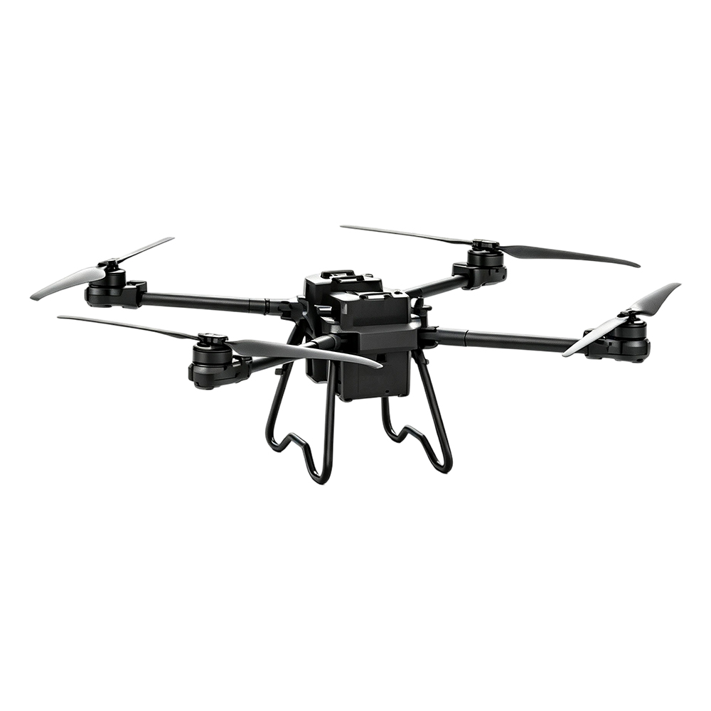
TS100 Cargo UAV
Maximum payload 100kg, 30KM video transmission, supports remote route planning. Used for emergency supplies and medical delivery.
Automated support: prerequisite for hangar deployment
The hangar does not automatically enable unmanned operations simply by purchasing it. Three prerequisites must be met; without any one of them, it cannot function.
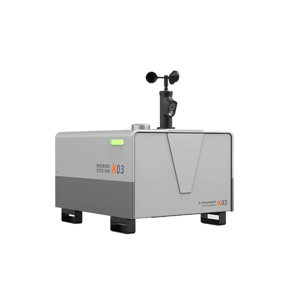
K03 Automatic Charging Hangar
First, let's be clear: the value of a drone hangar lies in routine operations, not "saving people." Only when all three points are in place can we talk about 7×24—routine automated patrols along preset routes with automatic anomaly alerts; manual takeover during emergencies, takeoff within minutes, and linkage with the command terminal.
This is the practical meaning of "integration of peacetime and wartime operations": routinely used as an inspection tool, and on call as the first eyes on scene when emergencies occur.
- Stable power supply and network—— K03: Airframe weight is only 50 kg, supports solar power supply, low deployment threshold
- Clear regular flight routes in place—— Who decides, what to fly, how many times per day — these must be clearly defined upfront.
- Someone monitors data, someone receives alerts—— Automation addresses "flight"; judgment still requires a human operator.
Typical mission scenarios
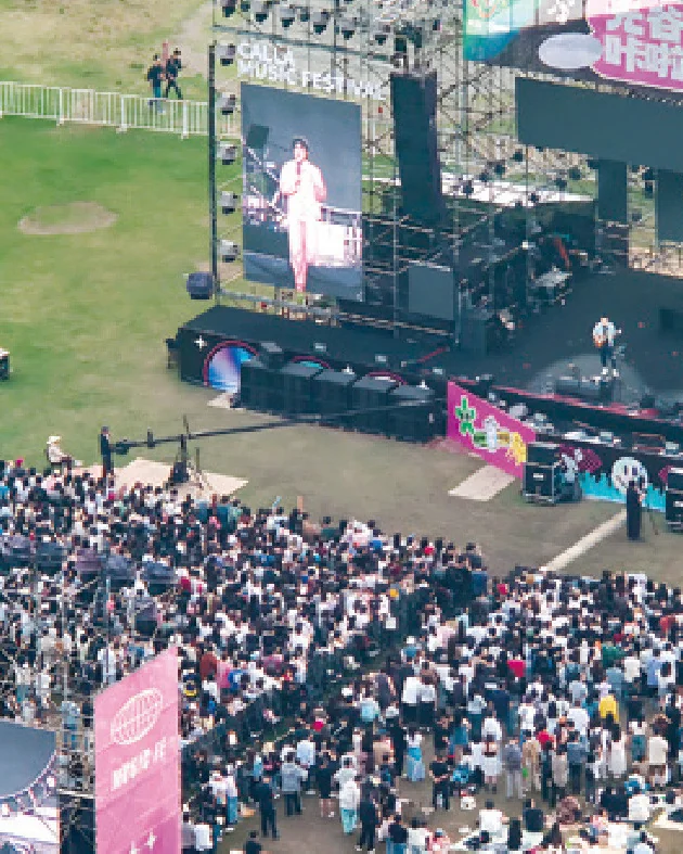
Scenario 1 · Security for Large-Scale Events and Urban Patrol
At large-scale gatherings, sporting events and music festivals, the main problem of fixed ground-based surveillance is blind spots.
- High-altitude view—— Full situational awareness of pedestrian and vehicle flow, covering blind spots of ground surveillance
- Panoramic live feed—— Command centre dispatches using a “single map”
- Payload: loudhailer / megaphone—— Upon detecting anomalies, provide on-site guidance immediately; no need to wait for ground forces to push through
Essential desk work before securing an event: high-precision site surveying and electronic 3D modelling, zoning of safe-flight areas and no-fly zones, selection of mission aircraft, and contingency plans. Whether these are done or not directly determines whether the event day will be chaotic or orderly.
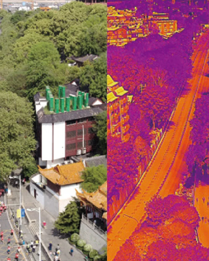
Scenario 2 · Night Search and Personnel Positioning
The greatest challenge in wilderness search and mountain rescue is poor night visibility and complex terrain.
- Thermal imaging—— First solve the problem of "being able to find", locating thermal targets in dark or obscured environments
- Laser rangefinding and point positioning—— Synchronize coordinates to ground teams to reduce round-trip navigation time
- Lighting and Public Address—— Stabilize the emotions of trapped personnel and provide action guidance
Thermal imaging can significantly increase the probability of detection, but does not guarantee discovery — terrain obstruction, a target's body temperature being too close to the ambient temperature, and other factors all affect performance; actual operations must still be combined with ground forces.
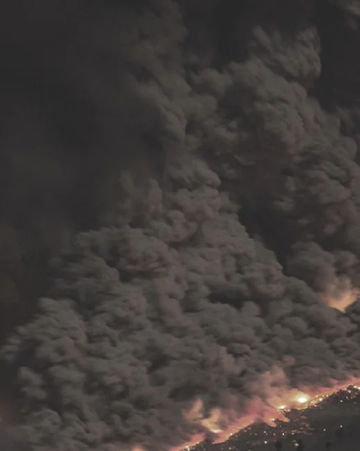
Scenario 3 · Handling of Sudden Incidents and Emergency Response
Emergency incidents are often accompanied by "network outage, power outage, road blockage." The key is not post-incident summary, but proactive risk identification — detecting risks early.
- Rapid takeoff—— Obtain the overall situational picture of the scene at the earliest opportunity
- Live video feed—— Transmitted to the command center to support analysis and resource allocation
- Heavy payload delivery—— Deliver supplies and medical provisions, opening up the “last kilometre”
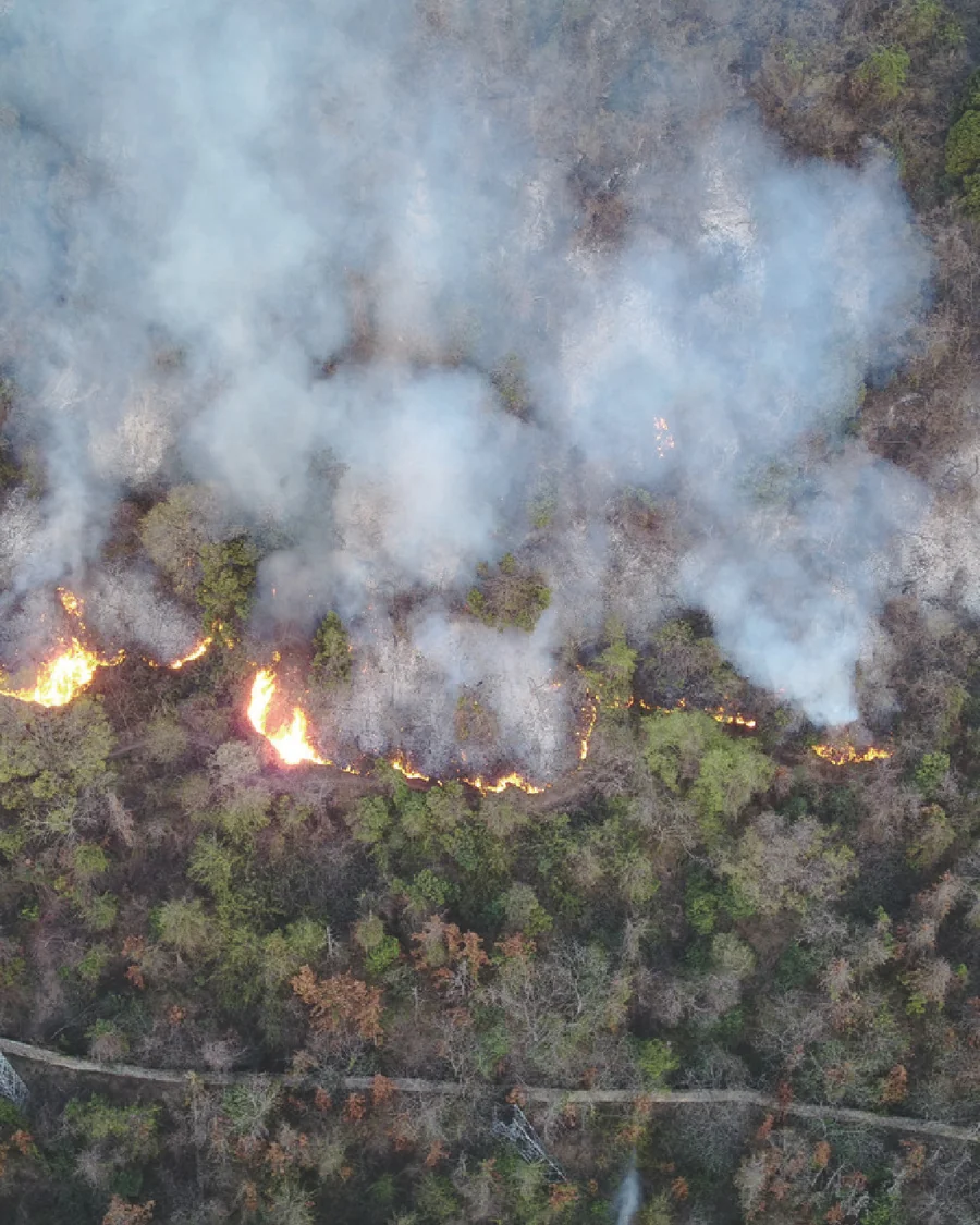
Scenario 4 · Forest and Grassland Fire Prevention and Routine Patrol
The core of fire prevention is "to fight fires early and small."
- Routine patrols—— Long-endurance platforms reduce blind periods in manual surveillance
- Fire spot and fire line positioning—— Thermal imaging for locating fire spots and spread direction
- Multi-UAV coordination—— Providing situational awareness of fire scenes for response forces
The smoke and fire detection algorithm must be calibrated against local forest background; otherwise the false alarm rate will be high. Here write "configurable smoke and fire detection algorithm", not "automatic detection".
What distinguishes this from traditional methods
This table deliberately retains a "prerequisites" column — government and enterprise reviewers most strongly oppose unconditional commitments; stating the prerequisites clearly actually increases credibility.
| Dimension(s) | Traditional methods | After drone installation | Prerequisites for establishment |
|---|---|---|---|
| Arrival at the scene | Restricted by terrain and road conditions | Take off directly and clear obstacles | Airspace permits, weather permits |
| Night operations | Limited line of sight, search constrained | Thermal imaging + lighting for continuous operations | Night flight authorization and pilot qualifications |
| Command and decision-making | Relying on telephone and ground reports results in delayed assessment | Live video feed, visual dispatch | Video transmission link integrated with the command terminal |
| Labor input | Relying on foot patrols; coverage is inadequate when staff is short | Unmanned hangar operations share routine inspection duties | Three prerequisites for the hangar: power, network, and flight routes |
| Evidence retention | Difficult evidence collection; easy to overlook | HD filming, automatic archiving, replayable | Storage policy and local compliance requirements |
Compliance, data and system integration
Procurement decisions by overseas government and enterprise clients are highly sensitive to compliance, data security, and system integration capability. Point-by-point response:
| Dimensions of focus | Proposal Response |
|---|---|
| Data security | Supports local data storage and encrypted transmission; specific deployment configuration is determined by the customer's data sovereignty requirements |
| Open integration | Supports API / SDK integration with customer's existing CAD, GIS, command and dispatch systems |
| Payload compatibility | Beyond the existing payload ecosystem, third-party custom payloads can be expanded on demand |
| Training and Delivery | Training and delivery methods are subject to separate agreement per project. |
| Modular procurement | Phased procurement: platform → payload → hangar → command station, reducing the barrier to a single purchase decision |