Desert Search and Rescue Drones: Thermal + AI Tracking for Finding People in Unmanned Areas
Desert missing-person cases are not about whether you can find someone — they are about whether you can find them in time. Daytime ground temperatures hit 50°C, and dehydration kills in hours; at night temperatures drop to single digits, and hypothermia takes its turn. Helicopter SAR runs into tens of thousands of dollars per hour; ground teams need most of a day to cover a single square kilometer — that is the place where SAR drones actually fit.
This guide is for SAR agencies, civil defense units and emergency teams: how to build a desert SAR drone kit, how to fly it, how to find people. We walk through the full chain from the moment a call comes in to the moment a person is recovered, and we share the traps that real teams have stepped into.
Updated August 2026, based on public information and field experience.
Key numbers at a glance:
- Search and rescue UAV market ≈ USD 3.16 billion in 2025, projected to USD 8.76 billion by 2032, growing 15.7% per year (PW Consulting)
- Multi-rotor platforms hold 58.2%: fast deploy, able to hover, the workhorse of SAR; fixed-wing and VTOL handle wide-area coverage
- Thermal imaging is the core payload: human heat signatures in night, sand, and low-visibility are how you find people
- Desert rescue window is measured in hours: daytime dehydration, night-time hypothermia — time is the survivor's only resource
- AI recognition turns "searching the picture" into "automatic alerts": reduces operator misses and makes multi-aircraft coordination practical
- A complete kit = platform + thermal + loudspeaker + drop: finding the person is only the first step — you still need to confirm, comfort and resupply them
Why desert SAR drones are worth the kit: helicopters are too expensive, ground teams are too slow
Start with the cost line. Helicopter SAR costs tens of thousands of dollars per flight hour, and not every rescue team has one. Ground SAR moves on foot and needs most of a day to cover a square kilometer. Drones sit right in between: far cheaper than a helicopter and far faster than a ground sweep — a single multi-rotor with a thermal payload can cover what a ground team does in a full day in a single hour.
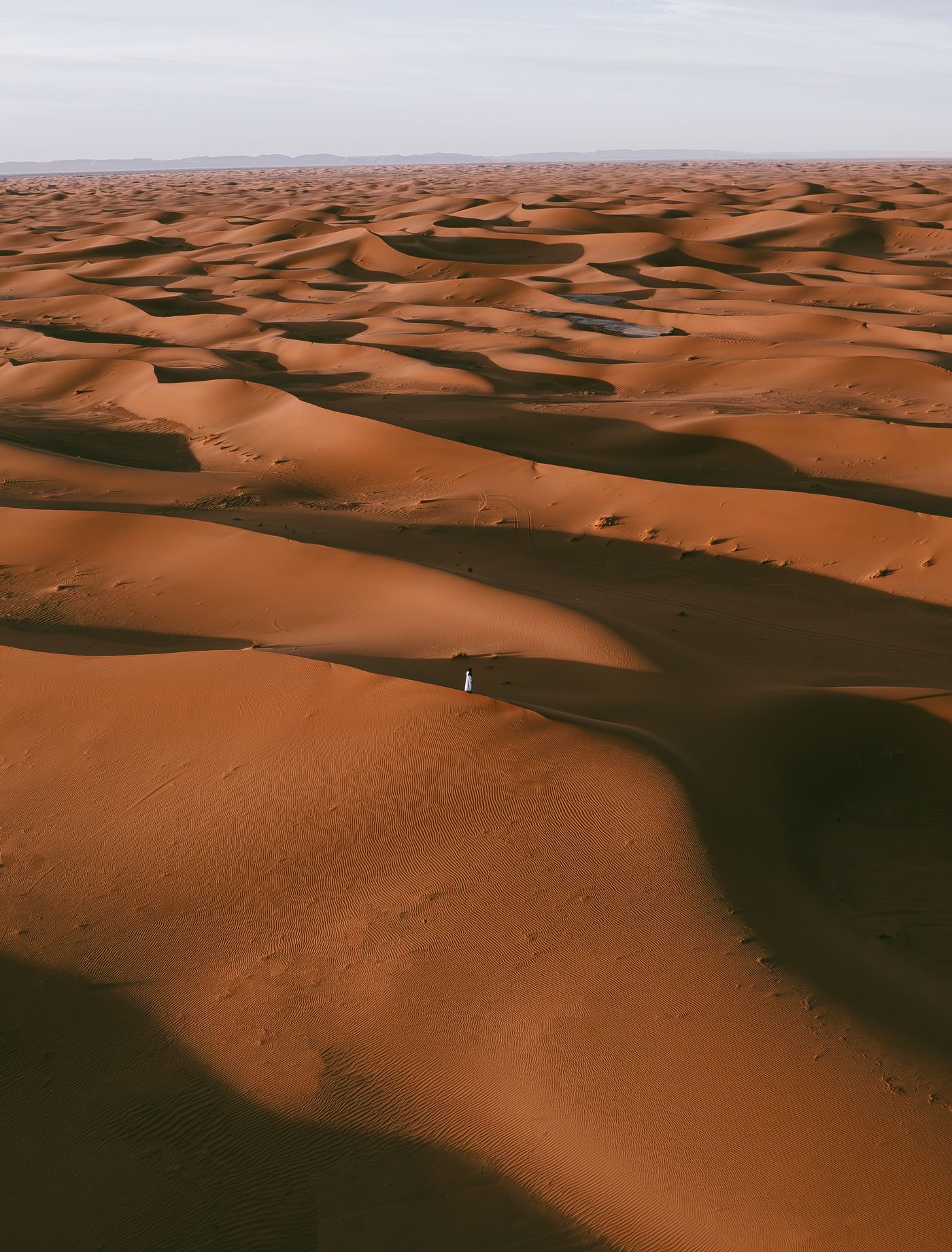
Then the reality of desert SAR. Most missing persons in the desert do not have a phone signal, do not have a GPS fix, and the rescue window is short. A drone can launch within minutes of the call, sweep the area first, and direct ground teams in precisely — that is the playbook the last few years have converged on, and why the SAR drone market is growing 15.7% a year.
Building the kit: platform selection and payload configuration
Platform: multi-rotor or long-endurance VTOL?
| Platform | Strengths | Best fit |
|---|---|---|
| Multi-rotor | Fast deploy, can hover, simple to fly | Small-area grid search, low-altitude night confirmation, payload drops |
| Long-endurance VTOL | Long flight time, fast cruise, large coverage | Wide-area missing-person sweeps, patrolling roads and dry riverbeds |
The two are not a choice — they complement each other. VTOL sweeps the wide area first; the multi-rotor confirms the point of interest. For a deeper platform comparison see our fixed-wing vs VTOL guide.
Payloads: finding the person is only step one
| Payload | Role |
|---|---|
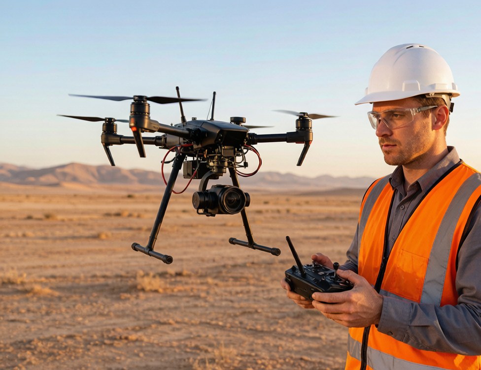
| Thermal dual-sensor gimbal | Human heat signature is clear against sand or at night; in 50°C daytime sand the system still relies on shape and thermal contrast plus AI |
| AI tracking module | Locks on a target and follows automatically, so the operator is not hand-flying the gimbal |
| Loudspeaker | Low-altitude voice contact to confirm identity, calm the missing person, direct them to stay put |
| Searchlight | Illuminate an area at night and add visible-light confirmation alongside thermal |
| Airdrop / sling release | Drop water, medicine or a communications device to extend survival time |
Thermal imaging and AI tracking are the heart of the system — two deeper guides worth pairing with this one: thermal + zoom dual-sensor gimbal selection and AI tracking module in the field.
Field workflow: from the call to the find, six steps
Step 1: plan a gridded flight path. Do not take off and fly by feel. Cut the search area into a grid and plan a coverage flight (lawn-mower) that touches every cell. GPS is usually fine in open desert, but watch for wadis, wades and old mining pits.
Step 2: thermal imaging scan. By day, prioritize shaded zones, wadis, abandoned vehicles. At night, human heat signatures stand out against a cool background. Thermal resolution sets identification range — 640×512 is the current industry baseline.
Step 3: AI marks candidate targets. Let the AI auto-flag "person-like" objects in the frame; the operator confirms or rules out. With multiple aircraft, several streams run through the AI in parallel, doubling or tripling efficiency.
Step 4: low-altitude confirmation. When a candidate is flagged, descend, zoom in for detail, turn on the searchlight if needed, call over the loudspeaker. This step confirms it is actually a person, not a sand-dune shadow or an animal.
Step 5: drop critical supplies. Once the location is confirmed, drop water, medicine or a communications device to extend survival time — finding the person is not the end of SAR, getting them alive to the ground team is.
Step 6: hand off the coordinates. Push the exact coordinates and live imagery to the ground team so they walk straight in, not into a second sweep.
Desert-specific constraints: can the kit actually take it?
Desert SAR hits equipment in ways the city does not:
- Heat: 50°C ambient cuts flight time; the operating temperature range is a hard spec
- Dust: fine silica gets everywhere — gimbals, cooling fans, lenses; the dust-protection rating has to be real
- Diurnal swing: hot day, cold night, both punish batteries and electronics
- Glare: midday desert sun washes out visible-light cameras, which is exactly why thermal becomes the more reliable sense
So the desert SAR kit selection rule is: "survives 50°C continuous operation + sealed against dust + thermal is the primary sensor" — that trinity beats any spec-sheet number.
Lessons learned: the four traps that sink real SAR missions
Trap 1: visible-light only, no thermal. Desert glare by day, total darkness by night — visible-only is effectively blind. Thermal is the first payload, not an optional add-on.
Trap 2: no grid, taking off and hoping. Flying by feel wastes battery, leaves coverage gaps and double-scans other areas. A gridded flight plan is a basic discipline.
Trap 3: ignoring the heat derating. You take off with a full pack expecting 40 minutes and get half that at 50°C. Always budget flight time with the high-temperature derating factor and keep a return-to-home margin.
Trap 4: finding the person, then no one can act. No loudspeaker, no payload drop, no ground team in position — you have done half the job. A SAR kit has to be "find + speak + drop" all in one.
The one-line summary
Desert SAR with drones is not "fly and look", it is a full chain: thermal to find, AI to follow, loudspeaker to confirm, drop to keep alive — complete equipment, disciplined flight, rehearsed workflow, that is what actually saves a person.
Tell us about your mission: scenario in, proposal out
If you are a SAR agency, civil defense unit or emergency team planning desert SAR capability, send us your mission scenario (search area type, missing-person case profile, equipment on hand) and get a complete desert SAR drone proposal: platform and payload configuration, workflow recommendations, high-temperature operational notes. Consultation is free.
Send your mission requirements, submit an inquiry
FAQ
How much does a desert SAR drone kit cost?
It depends on configuration: a basic "multi-rotor + thermal gimbal" kit runs from tens of thousands of renminbi; a full kit with long-endurance VTOL, AI tracking, loudspeaker and drop system is more. Usually sized by "search area × payload configuration".
Does thermal imaging actually work in 50°C daytime desert?
Yes, but it is harder. Daytime sand is hot, so the human-vs-background contrast drops — you rely on shape, thermal contrast and AI assistance. The golden hours are night and dawn/dusk, when thermal is at its strongest.
Multi-rotor or long-endurance VTOL — which do I buy?
Small-area quick response calls for multi-rotor; wide-area missing-person searches use VTOL to sweep first and confirm second. If the budget allows, the two work together — VTOL covers, multi-rotor hovers and drops.
What altitude should we fly at in the desert?
Depends on the task: 80-120 m for wide-area scanning (bigger footprint, more thermal context), 20-50 m for low-altitude confirmation (more detail). BVLOS and night ops are constrained by local civil aviation rules.
What happens after we find the person?
Do not let the target drift or deteriorate: use the loudspeaker to keep them in place, drop water or medicine if needed, and pass exact coordinates plus live imagery to the ground team. The end of SAR is "alive and waiting for rescue", not "found".
What qualifications does the team need for desert SAR drone ops?
Depends on local regulation: usually a licensed pilot, with extra approvals for BVLOS, night flight and restricted airspace. On the equipment side, choose a vendor with solid after-sales and training support.
Disclaimer
This article is based on public information and field experience; market data cites public industry reports. Specific configurations, pricing and compliance requirements are subject to official documents and project evaluation.
Image credit: cover and night photos are from Pexels (pexels.com), used under the Pexels license, free for commercial use, attribution not required.